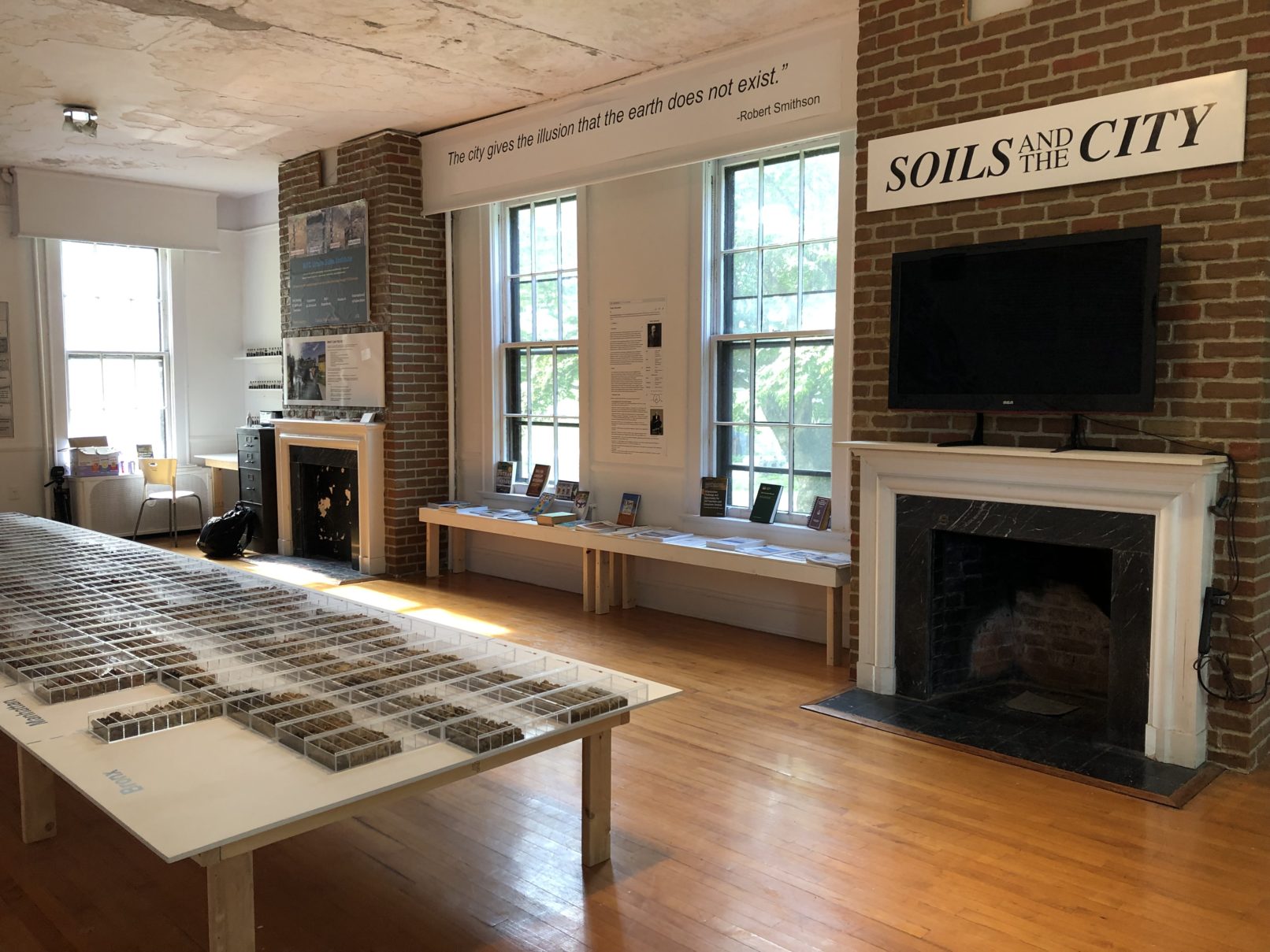
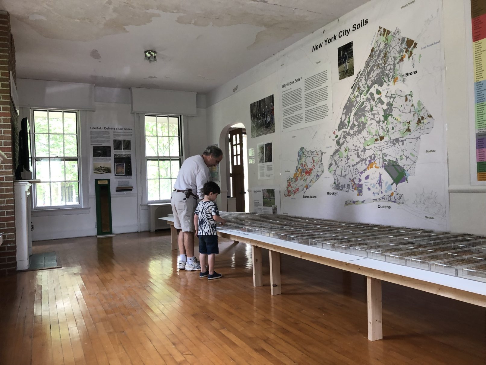
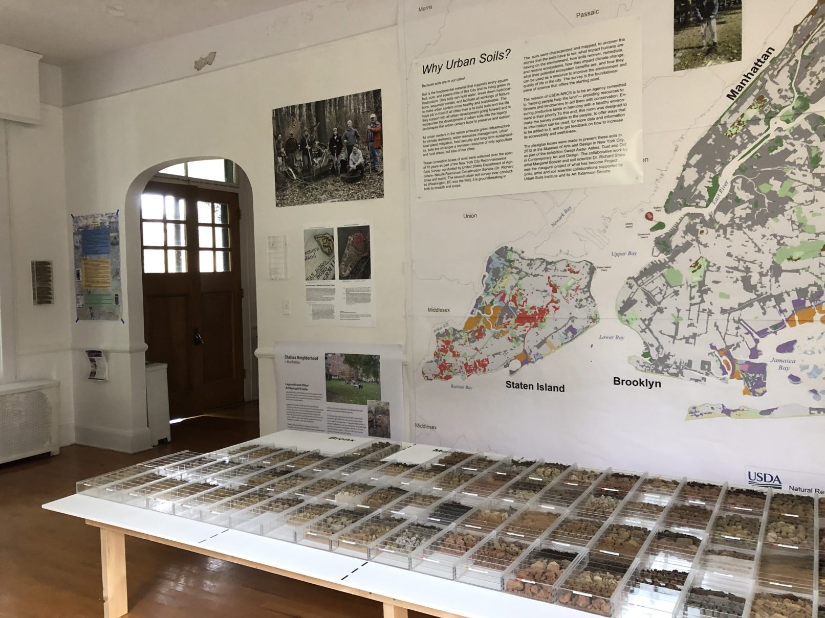
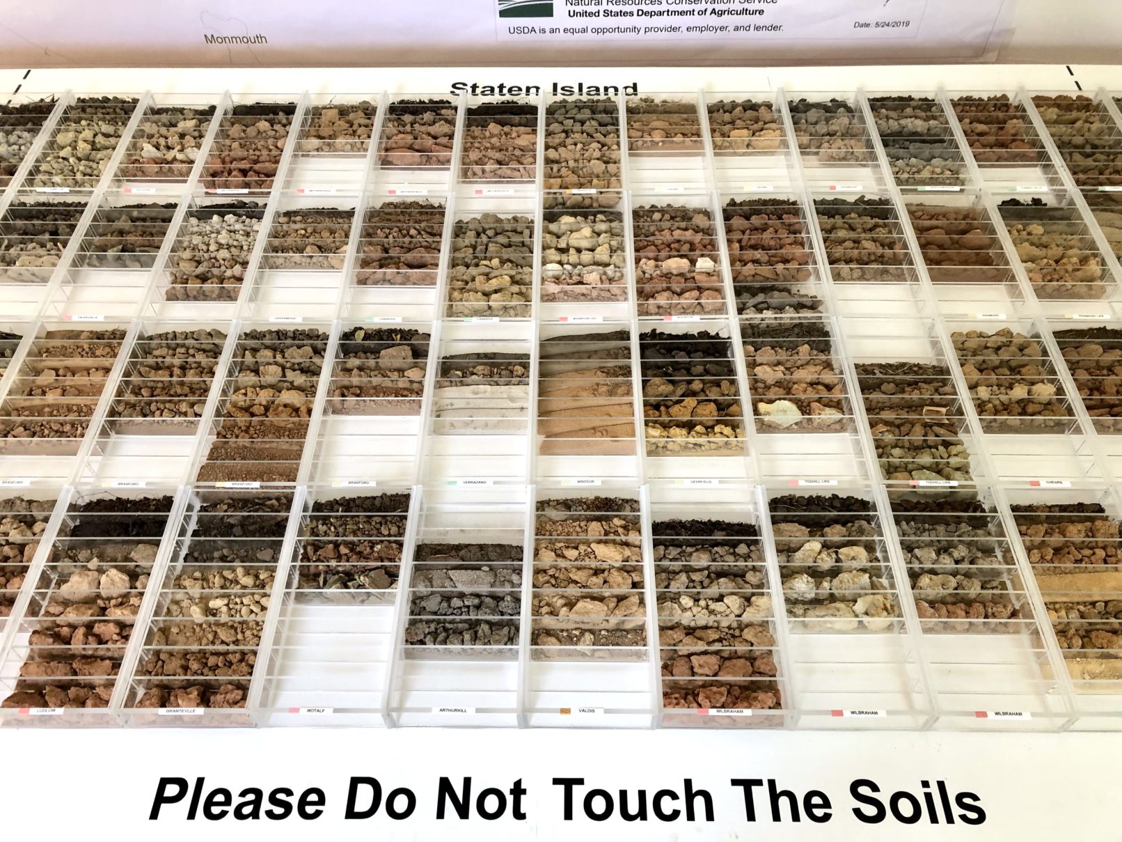
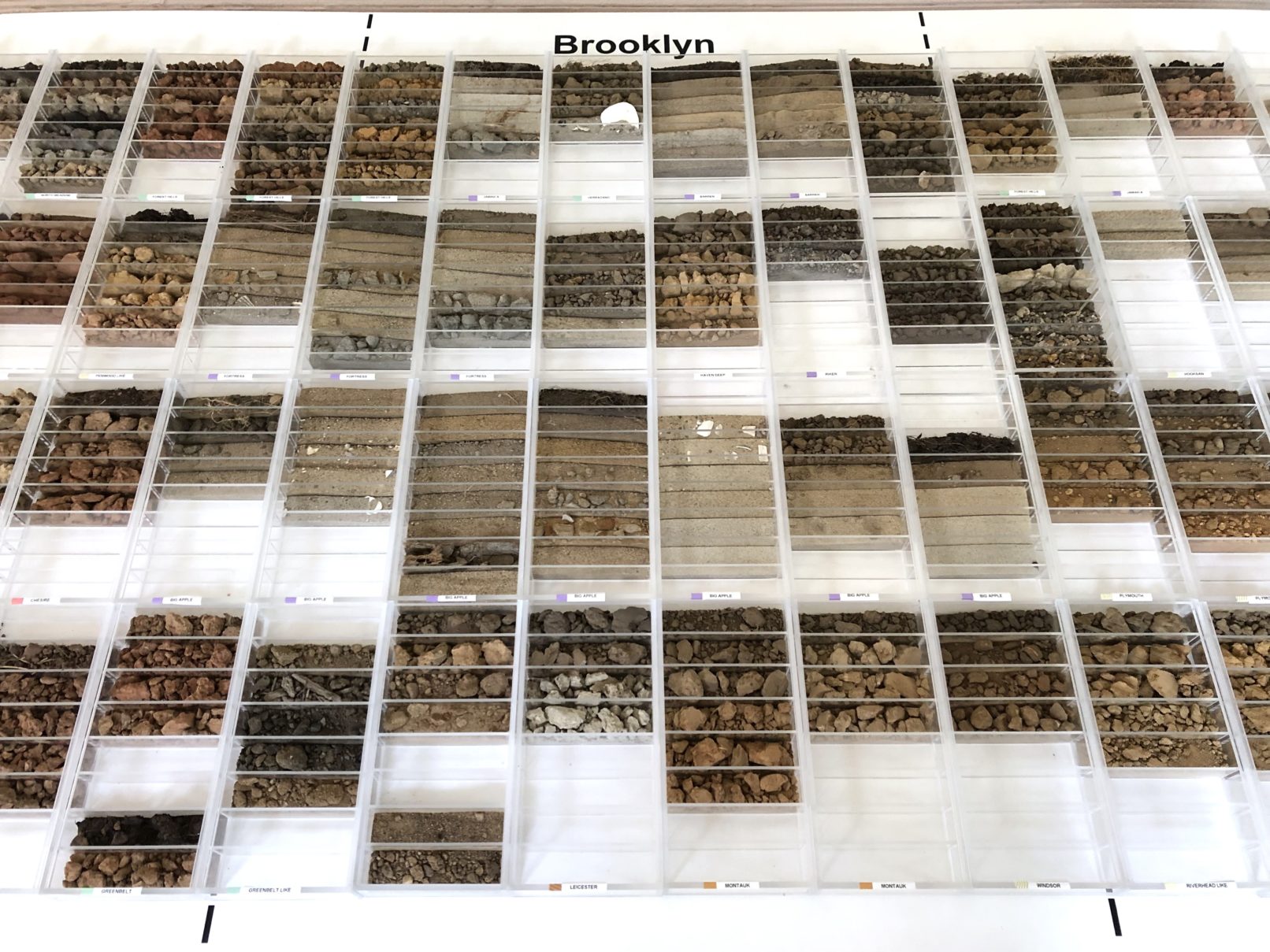
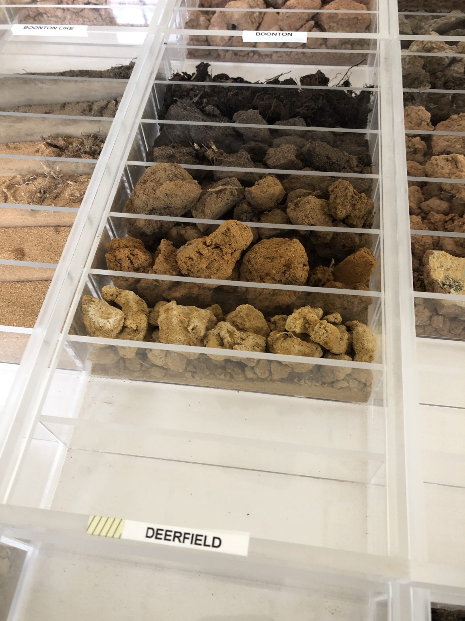
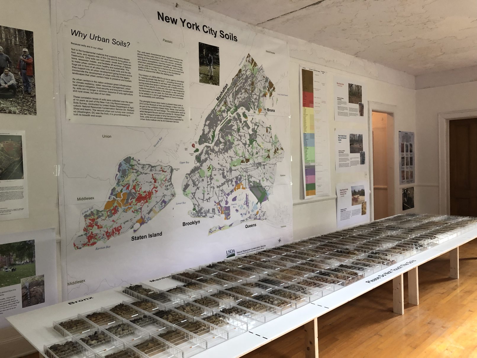
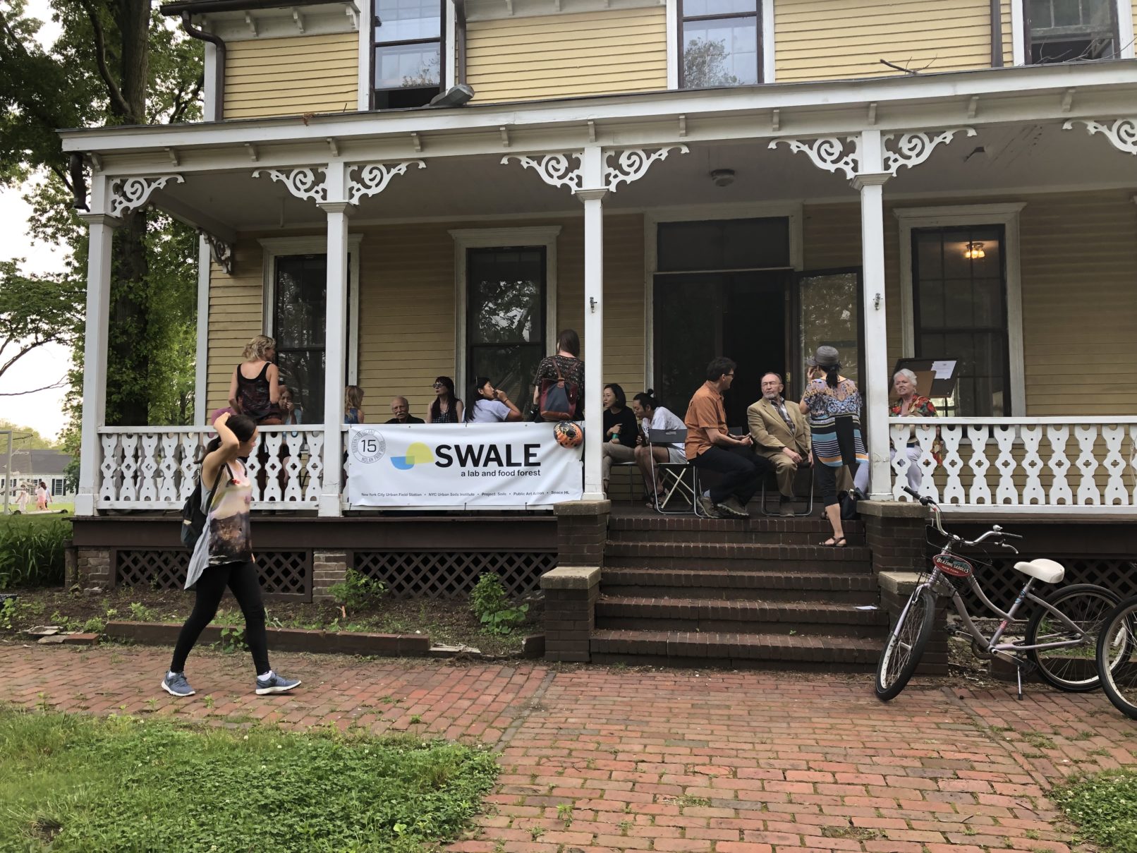
Thank you to Mary Mattingly and Swale House for the opportunity to expand Correlation Drawing/Drawing Correlations. The first iteration of this project was a collaboration with Dr. Richard Shaw of NRCS-USDA, showcasing soil samples collected by his agency in the 10 year New York City Reconnaissance Soil Survey, and was exhibited at the Museum of Arts and Design in 2012.
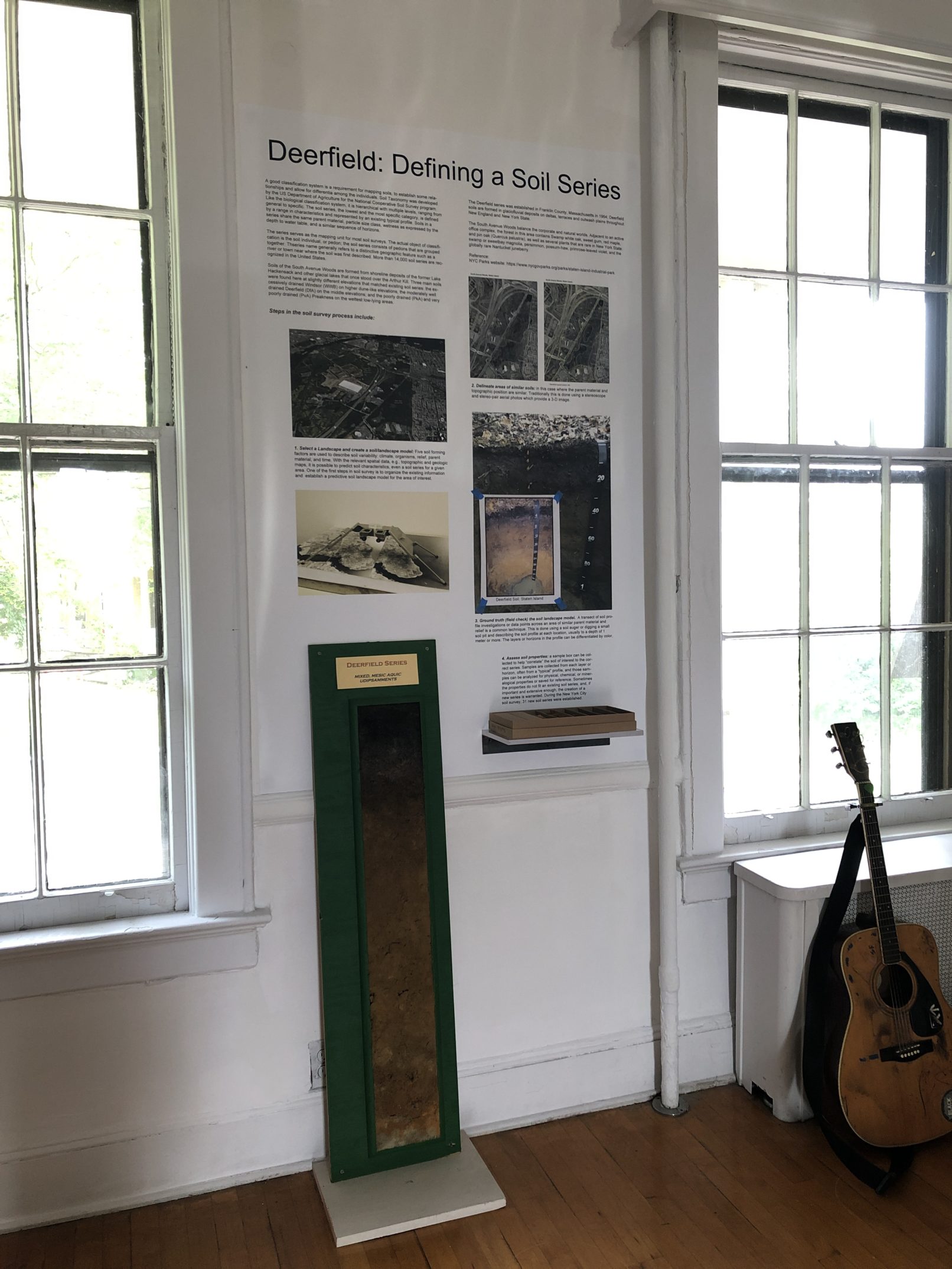
In this iteration, I got to collaborate again with Shaw, as well as with Tatiana Morin and others from Urban Soils Institute, to really use the soils as a visual hook to talk about urban soils. We re-worked the map to show where these particular soil samples are from. We wrote text to explain why the Reconnaissance Soil Survey was done in the first place, why urban soil study is important and how the public can benefit from the information.
The mission of the NRCS is to “help people help the land”. We hope this room will be a tool toward that end.
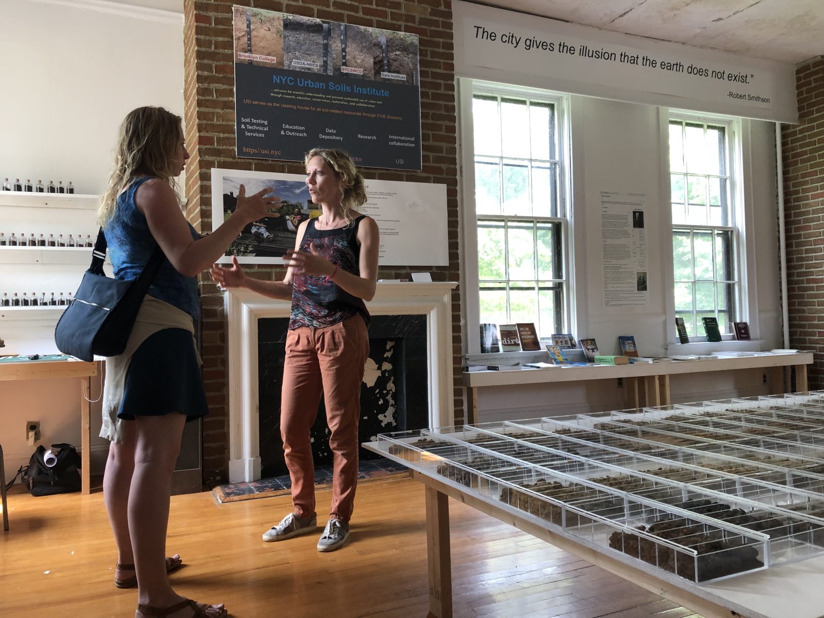
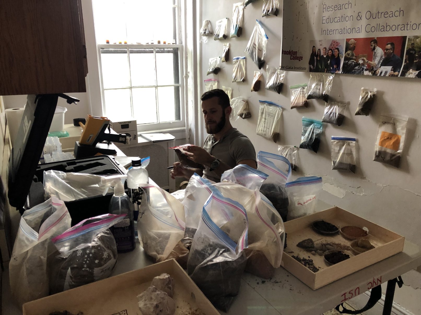
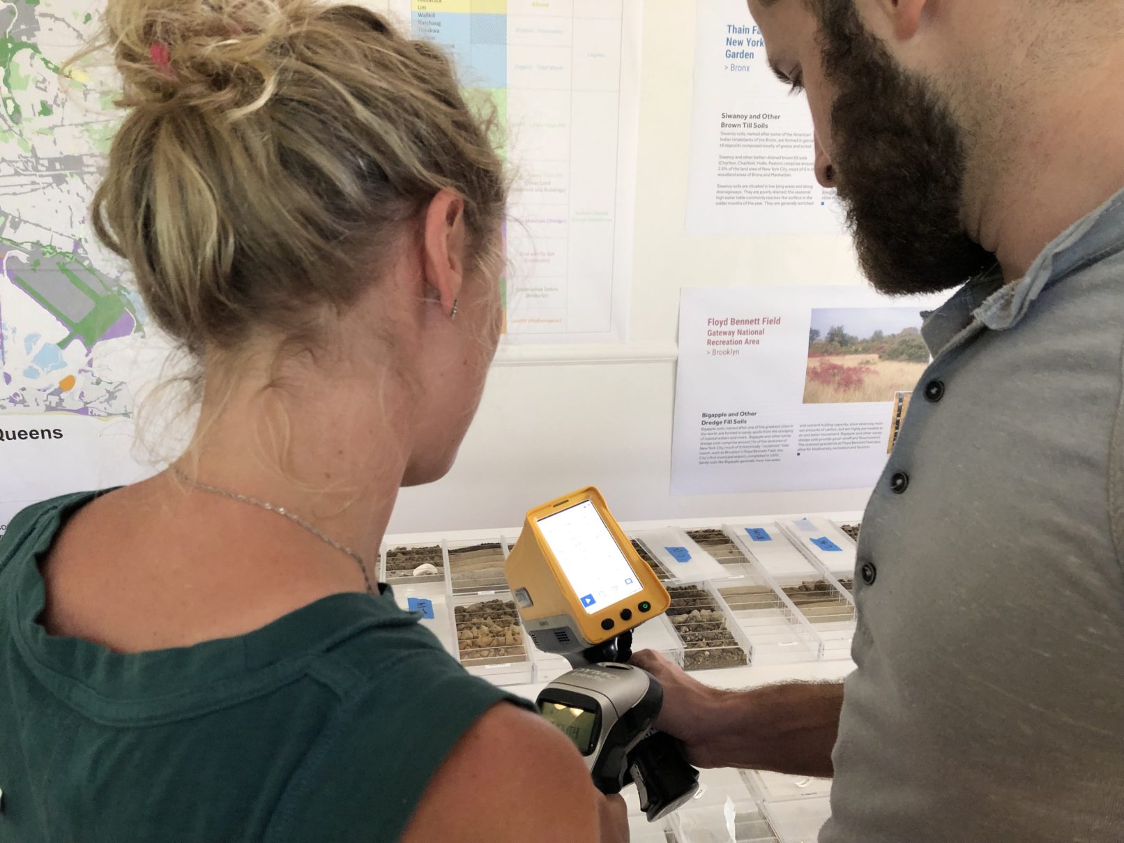
The Urban Soils Room will exist for 3 years as a teaching tool and a space for programming and discussions. It adjoins a functioning Soil Lab, run by Urban Soils Institute, and both reside within the context of Swale House, which focuses on food justice and environmental concerns of food systems.
more on Swale, Swale’s Facebook Page
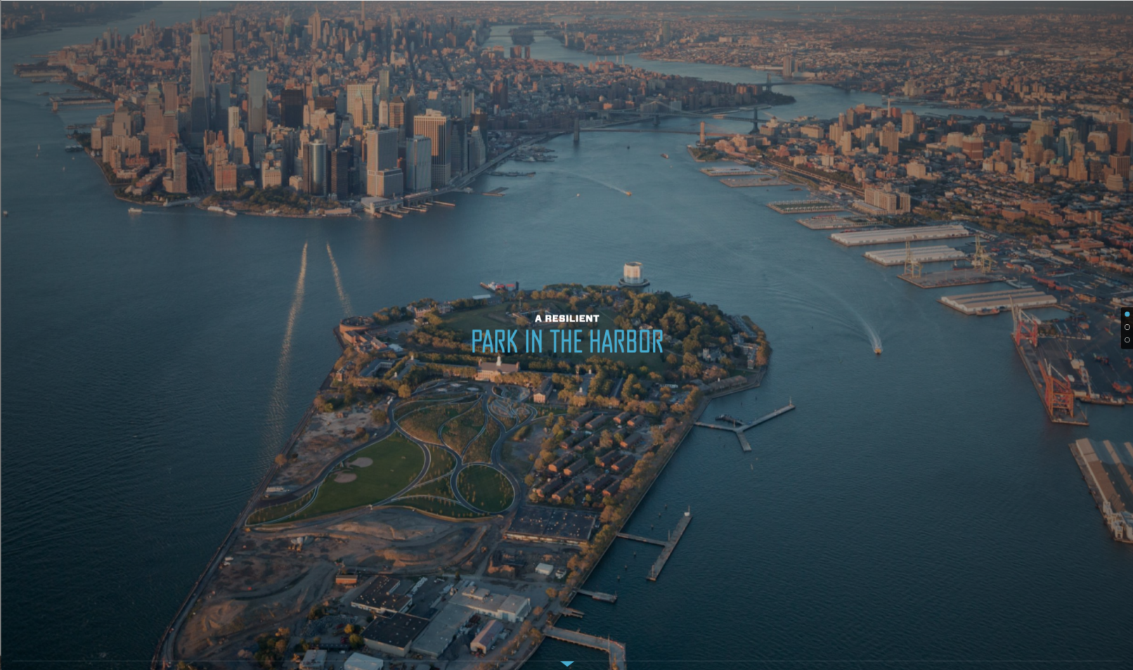
more on Governors Island
more on Urban Soils Institute
