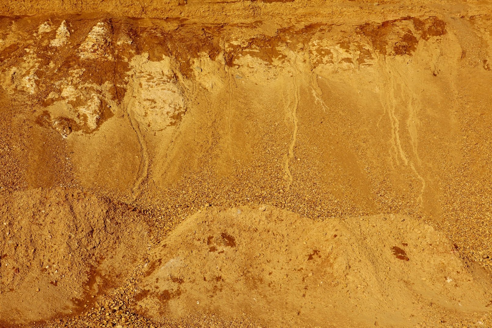
Photography
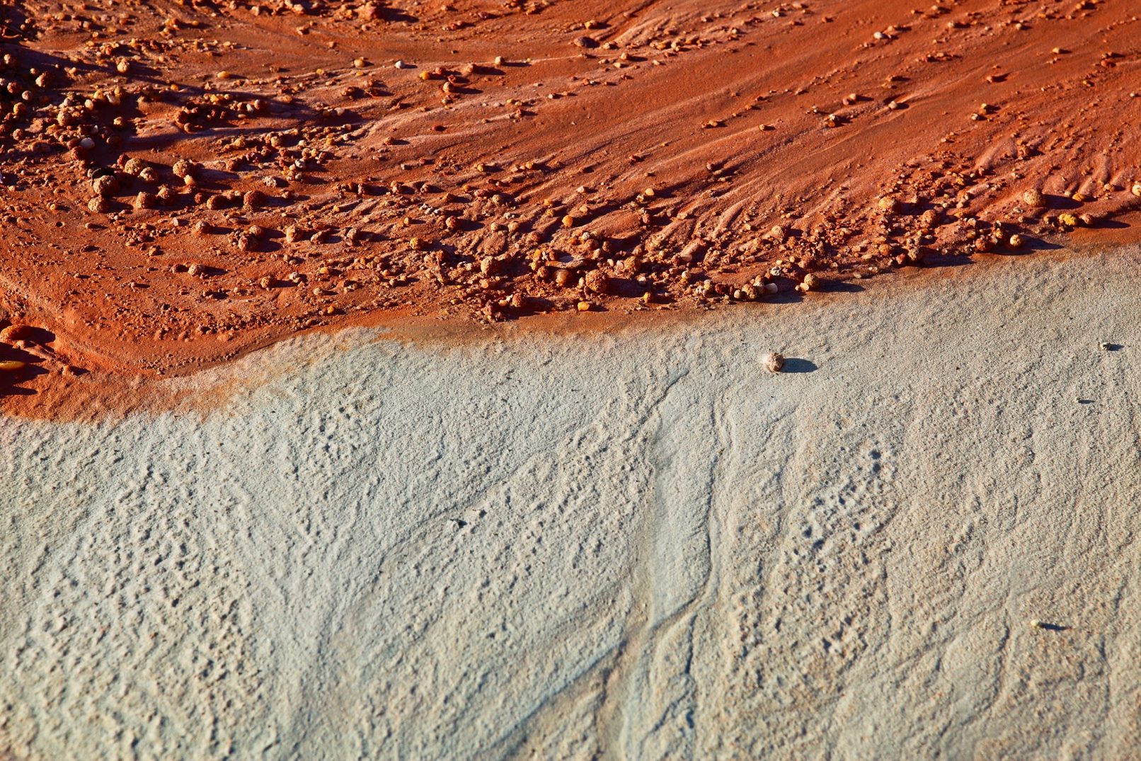
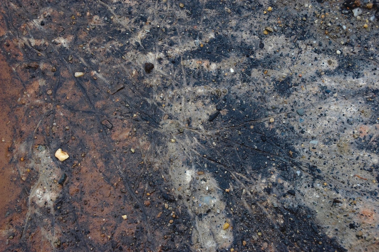
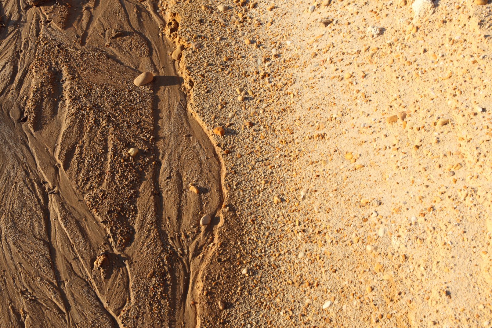
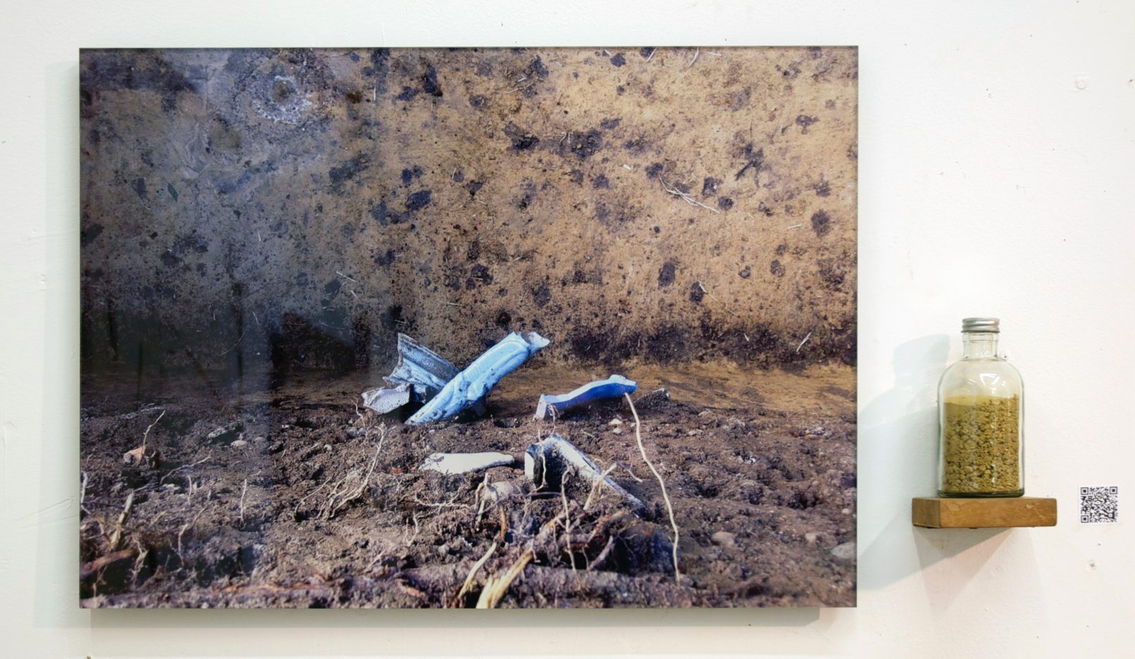
Artist's notes
“Bathymetry is the study of underwater depth of lake or ocean floors. In other words, bathymetry is the underwater equivalent to hypsometry or topography. The name comes from Greek βαθ?ς, “deep”, and μ?τρον, “measure”. -Wikipedia
“The Seafloor Mapping Lab (SFML) at CSUMB conducted the first bathymetric survey of the entrance to the Golden Gate since the 1950s. This survey, done in conjunction with the US Geological Survey (USGS), was carried out to assist with a study of the wave regime and sediment movement at Ocean Beach, San Francisco. Results: the new data reveal that dramatic changes have occurred at the SF Bay mouth since the last bathymetric survey conducted over 50 years ago. Upwards of 6 m of shoaling has occurred in the vicinity of the Army Corps of Engineers (USACE) dredge spoil site, and new patterns in sand bar formation, seen for the first time in the bathymetry, explain the increased beach erosion. The tidal migration of massive dune fields at the bay mouth was also observed and quantified for the first time. These data are being used to develop and refine sediment transport and current models used by USGS and USACE to maintain the SF Bay entrance channel, adopt new dredge spoil disposal strategies and create a beach replenishment program to halt further erosion of Ocean Beach.”
http:// seafloor.otterlabs.org/
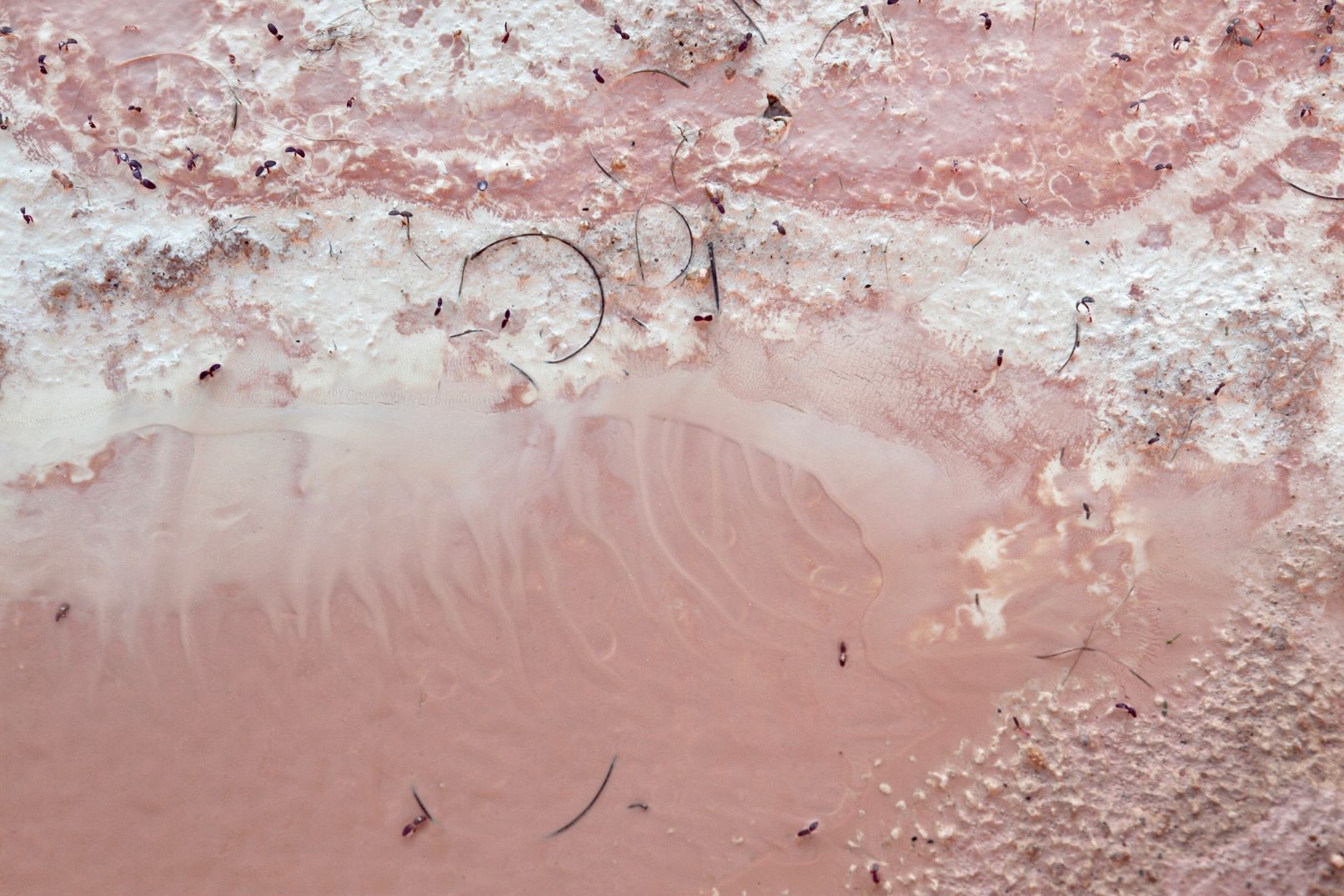
This piece that I made, for clients in San Francisco, translated a portion of the color coded bathymetry for the San Francisco Bay into a black and white line drawing, that was then translated into a porcelain slip trail (liquid) drawing. I focused on the section where the Bay empties into the Pacific Ocean.