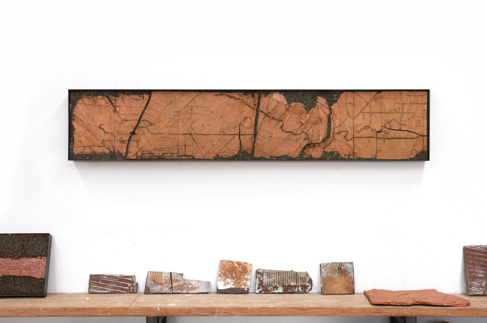
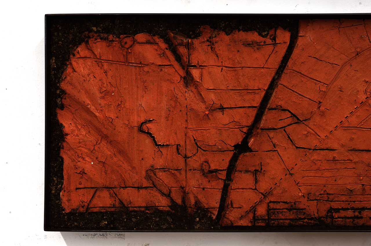
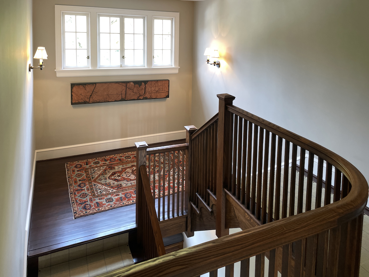
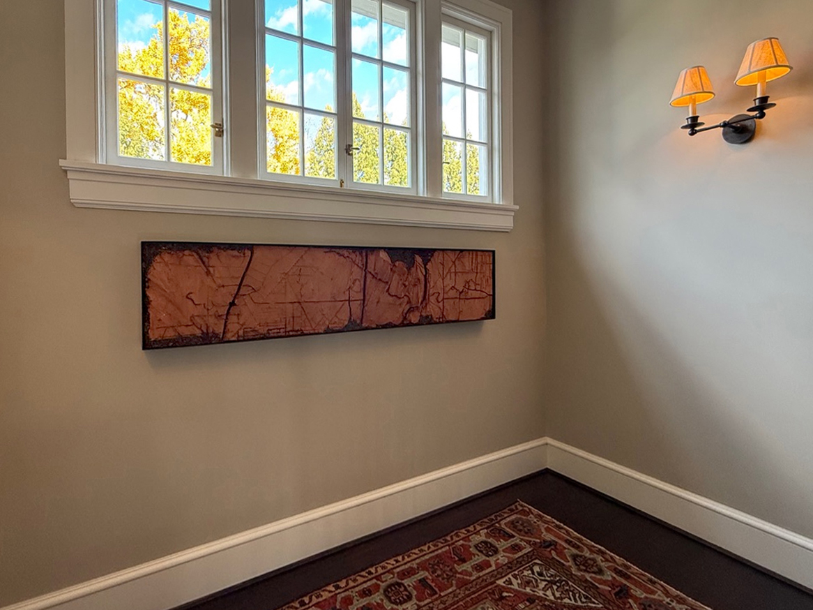
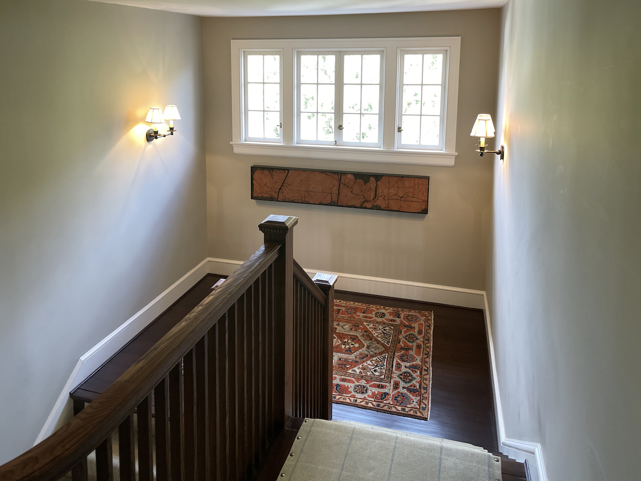
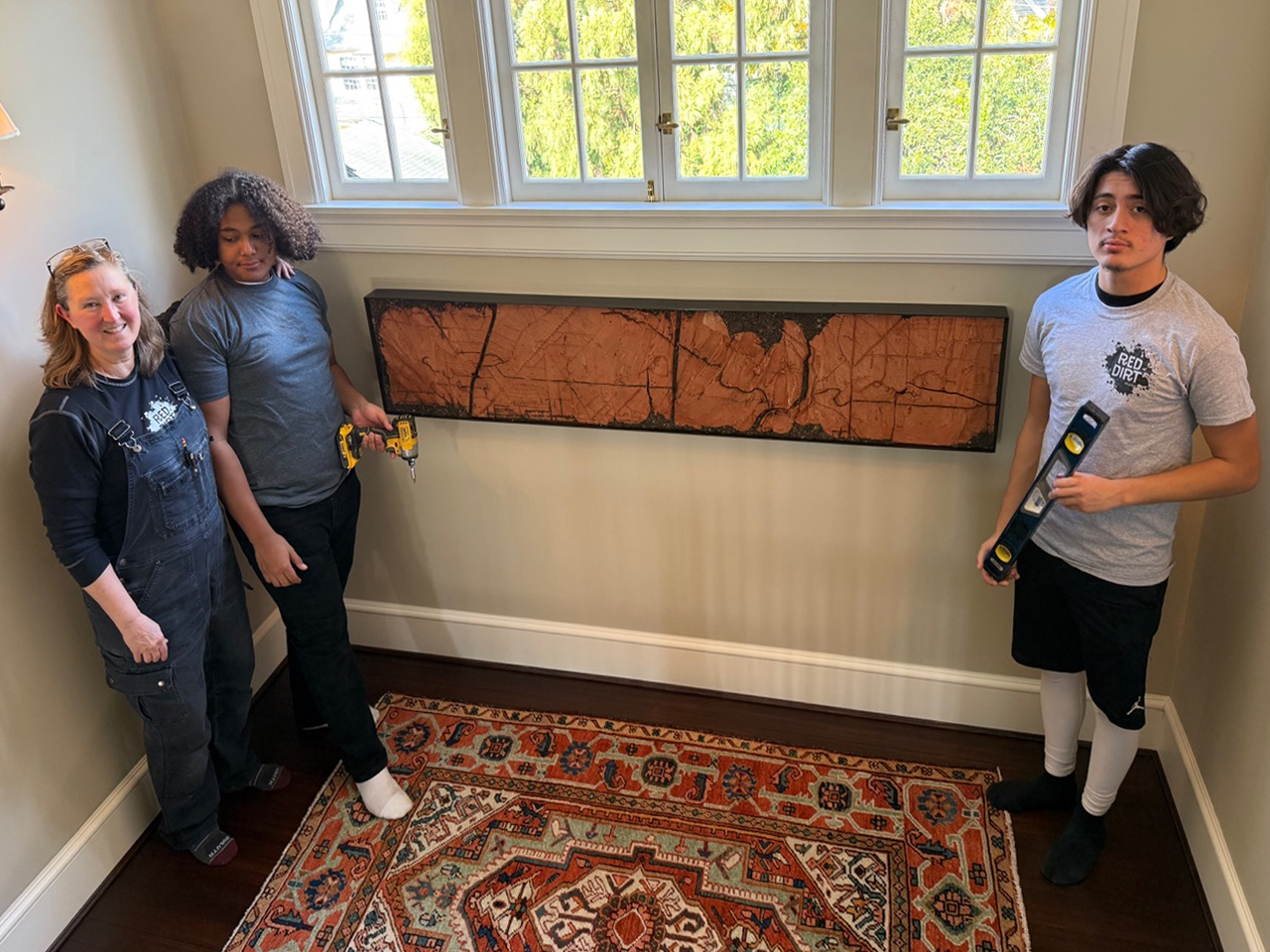
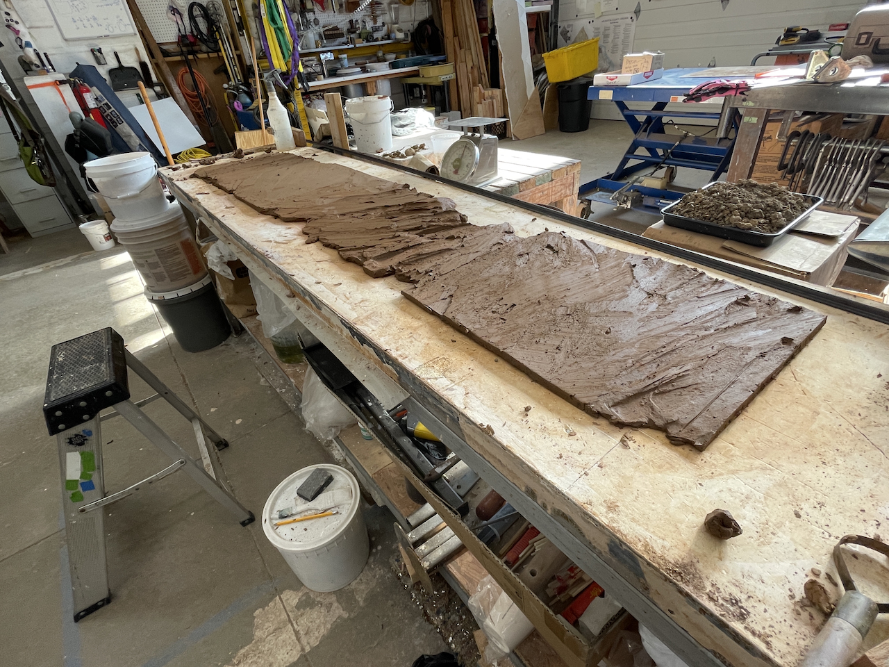
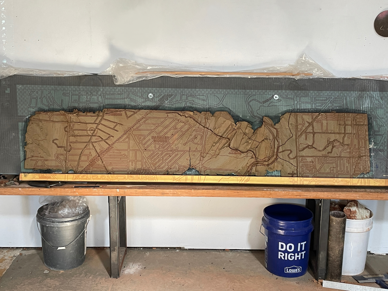
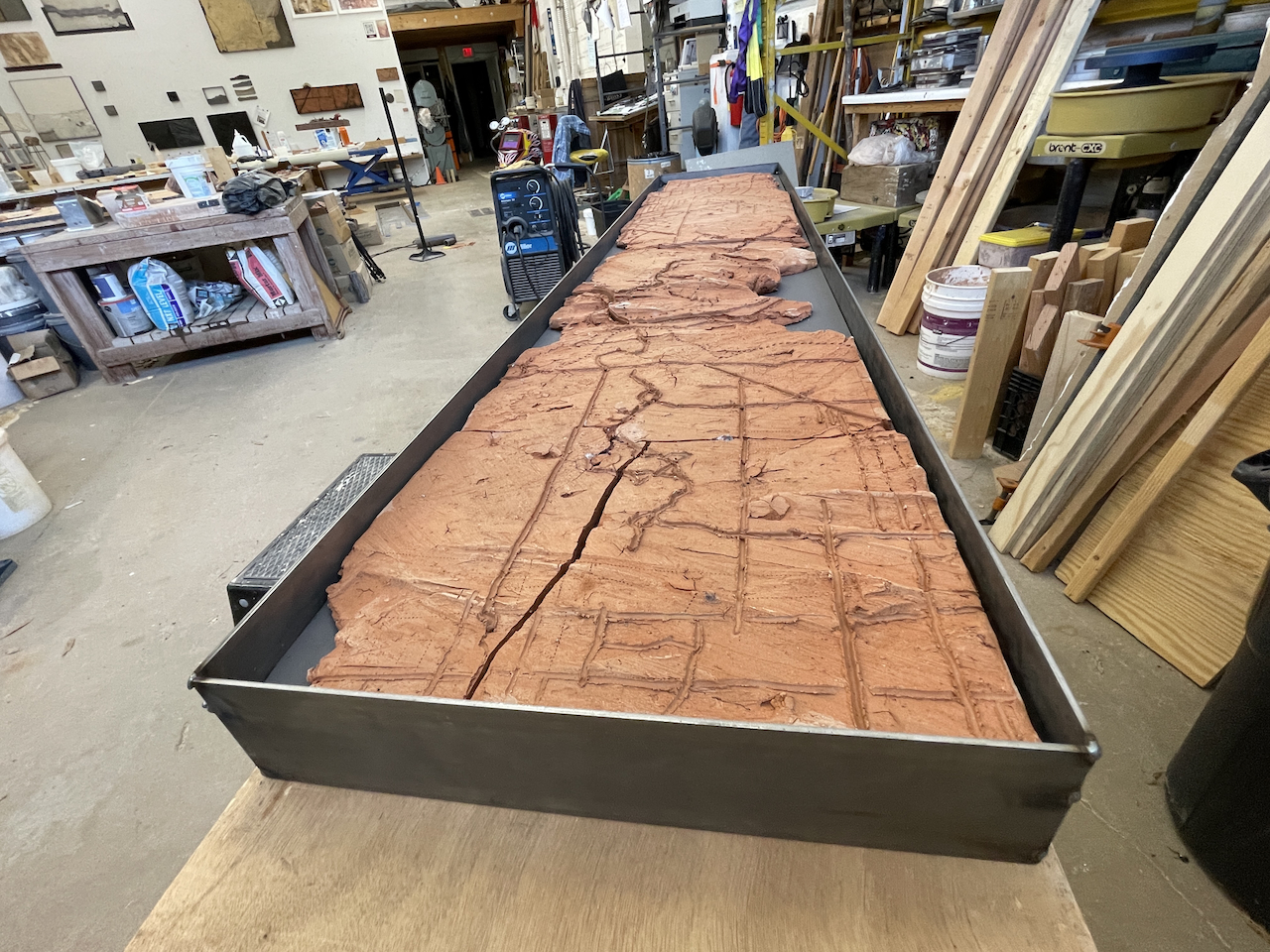
Map of Layered Histories, 2025
Mix of clays (Uncle Sam’s Brick clay -mapped Hudson from Troy, NY; Christiana clay from Mount Rainier, MD; Glenelg clay from Chevy Chase, MD) Russett soil from Brentwood, MD and purchased, steel
72” x 14” x 3”
2025 Map of Layered Histories
The idea for this piece traces back to finding a brick shard protruding from the earth, in Troy, NY on the site of Uncle Sam’s brickyard. This piece uses clay from that site, clay from the client’s yard, plus clay and soil from my yard mixed together and used to create a map of an area of Northwest Washington, DC and Maryland surrounding the client’s home. Commingled soils, layered histories.
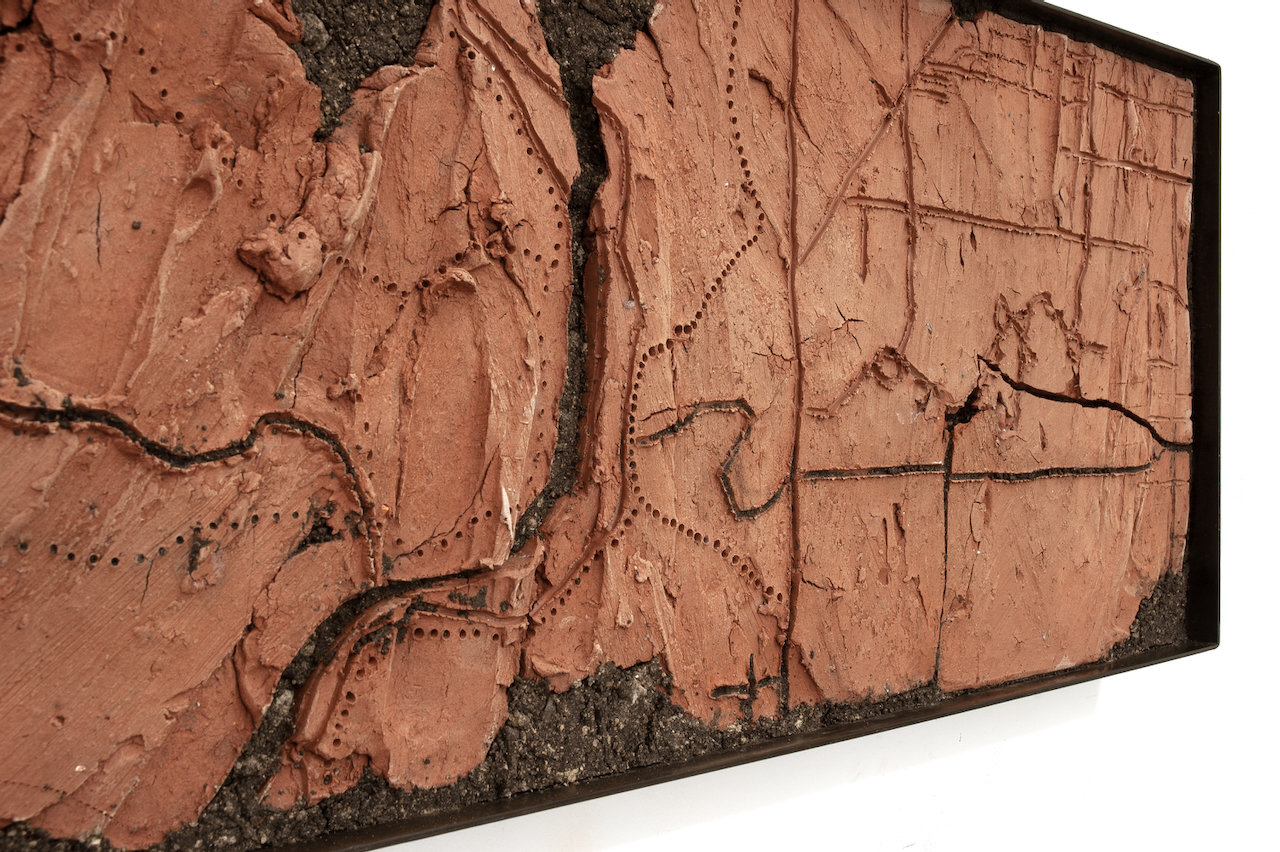
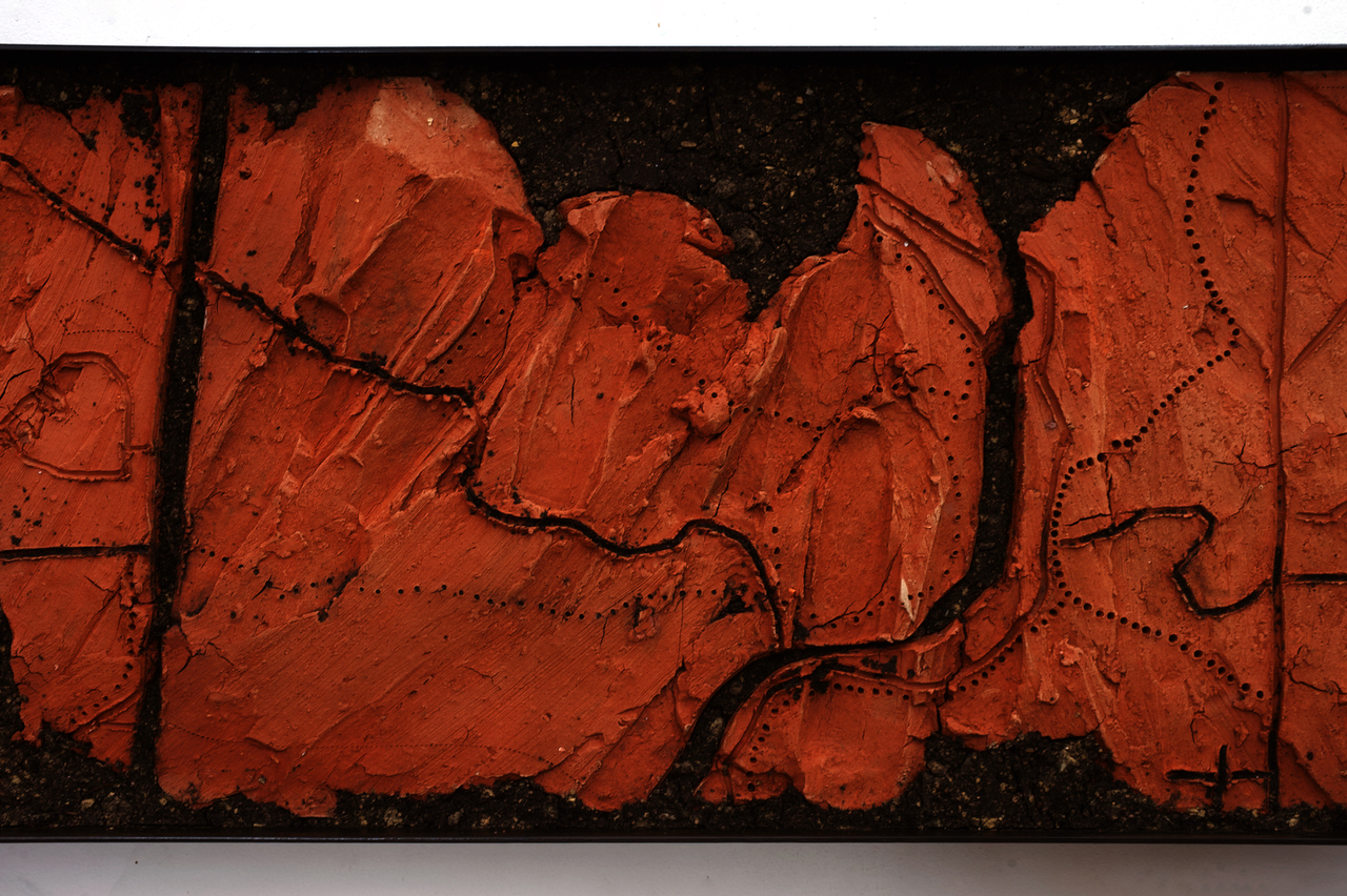
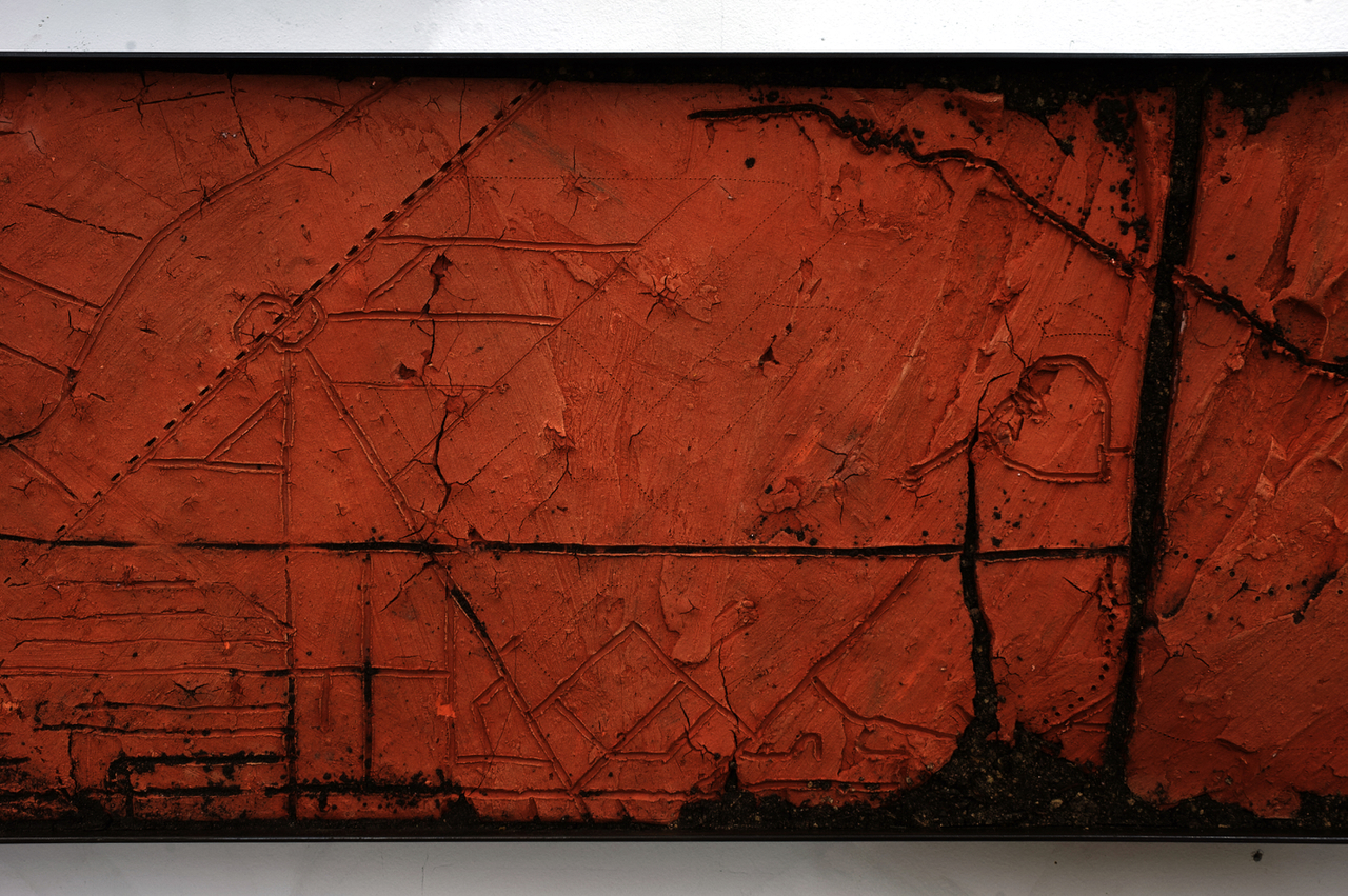
The map shows of a section of NW DC/ MD, Rock Creek Park and Takoma Park, DC.
In soil science, the “layered histories” refer to how a soil’s vertical layers, called horizons, function as a physical archive of the landscape’s past, including natural processes and human activities.
I’m still working on writing a statement for this piece, but thinking about complexities in the story of place.
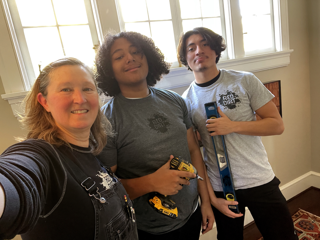
Bonus that Kyle and his buddy Xavier helped out with the installation today- first time. They did a great job : )